GEORGETOWN, Texas (KXAN) — The Texas Department of Transportation is celebrating the end of a months-long project beneath the surface of Central Texas.
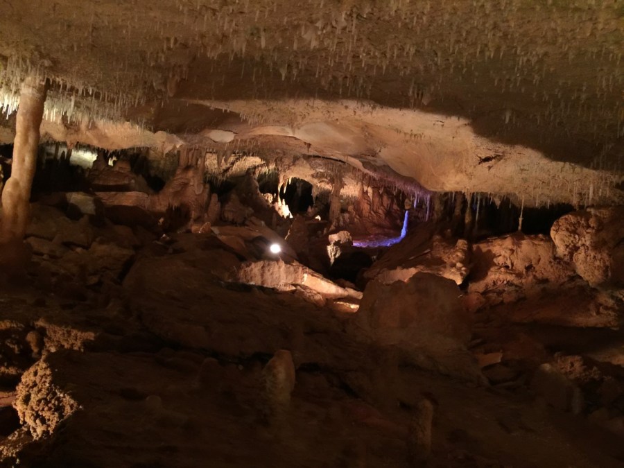
The team recently spent 18 days over a four-month period mapping Inner Space Cavern in Georgetown. The 3D model of the caverns will help TxDOT plan future projects along the I-35 corridor, according to a press release from TxDOT.
The caverns were originally discovered in 1966 during the construction of Interstate 35.
The mapping project required multiple teams to spend hours underground. TxDOT limited their expeditions to three days a week so that Inner Space Cavern, a popular tourists destination, could remain open for tours.
TxDOT used survey equipment and a robot, named Dot, to capture scans of the cavern. Dot, equipped with LIDAR, could venture into hard to reach areas.
Scans taken in the caverns were used to develop the map. The underground map will be paired with an above-ground map.
The information will be used by TxDOT while planning future projects in an effort to avoid damaging the caverns.