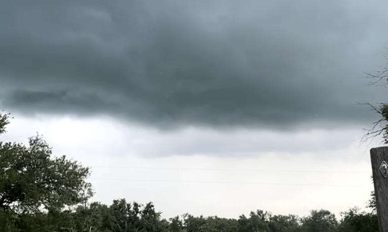
AUSTIN (KXAN) — Much of Austin saw a burst of gusty winds and heavy rain Sunday afternoon, leaving many residents wondering why the storm arrived so suddenly.
According to KXAN Chief Meteorologist Nick Bannin, the storm that hit Central Texas actually originated from a cluster of thunderstorms that formed early Sunday morning in Oklahoma and North Texas. Those storms produced heavy rain and frequent lightning — helping to set off what’s known as an outflow boundary.
“The rain from the thunderstorms cooled the air around the thunderstorm and the outflow boundary of rain-cooled air surged southward,” Bannin explained.
So, what exactly is an outflow boundary, and how did it influence Sunday’s weather in Central Texas?
Bannin said outflow boundaries act like a “mini cold front.” As they move into areas of unstable air, they can trigger new thunderstorms.
While the original storms formed hours earlier in Oklahoma and North Texas, they maintained enough energy to reach Central Texas — thanks in part to the direction of upper-level winds. Bannin said a north-to-south flow in the upper atmosphere reinforced the speed and direction of the cooler winds, helping the boundary arrive with force.
Its timing also mattered. The storm reached Austin during the warmest part of the afternoon, when enough heating had occurred to destabilize the atmosphere — allowing the storm to not only survive, but grow.
The potential for rain started to look more likely Sunday morning so our First Warning Weather Team increased rain chances, but even still the storm’s ability to hold together over such a long distance still ended up being impressive.