Storms in Southeast Texas have caused street flooding and dangerous travel conditions, prompting warnings from officials.
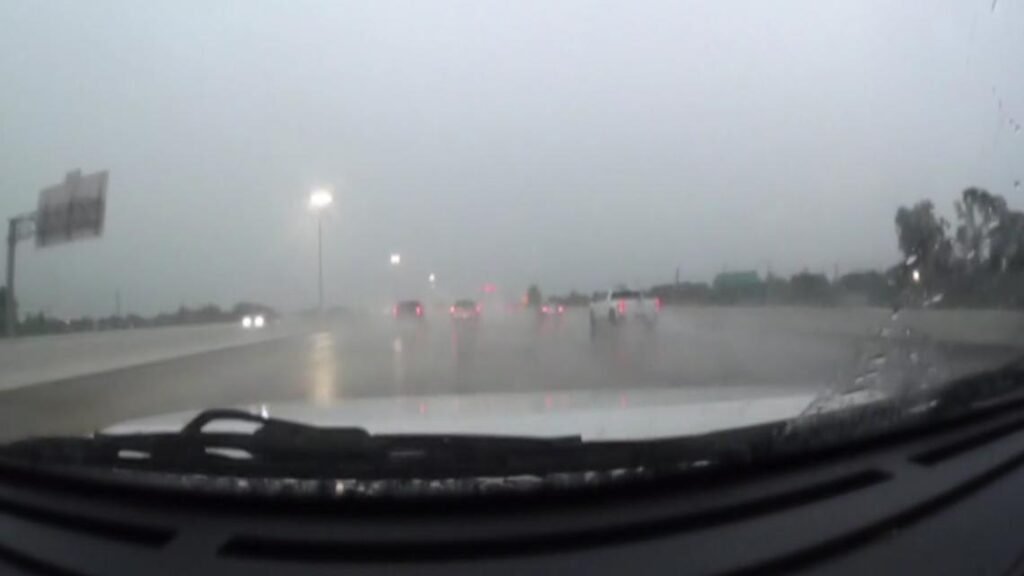
HOUSTON — Thursday morning storms have triggered street flooding and dangerous travel conditions across parts of Southeast Texas, with multiple high-water locations reported in the Houston area.
As of 8 a.m., the Harris County Sheriff’s Office issued a warning to drivers, urging them to avoid several flooded intersections, particularly in northeast Harris County.
High-water spots to avoid in the Houston area
Harris County
Flooding has been reported in the following areas:
- Uvalde Rd. and Wallisville Rd.
- Uvalde under I-10
- Monmouth under I-10
- Breda Dr. and Broken Arrow St.
- Evanston St. and Freeport St.
- 13300 block of Wallisville Rd.
- Wallisville Rd. and Woodforest Blvd.
- Audrey Lane and Woodforest Blvd.
Motorists are urged not to drive through high water and to find alternate routes.
Matagorda County
Local crews are actively responding to rising water across the region. As of this morning, Street and Bridge teams are placing barricades at flooded intersections to protect drivers.
Barricaded areas include:
- The inbound lane of Palm Village off TX-60
- Encino and Nichols in the Del Norte subdivision
Additional barricades may go up throughout the day as conditions evolve. Officials are urging drivers to avoid these areas and to never attempt to drive through deep or fast-moving water.
If you encounter a flooded roadway not yet marked, contact the Municipal Services Building at 979-323-1659 so crews can assess and respond quickly.
- State Highway 35 between Palacios and Port Comfort is closed due to high water
- FM 1862 between Blessing and State Highway 35 south is closed
Houston airports impacted
Storms have also led to significant air travel delays:
- A Ground Stop is in effect at Hobby Airport (HOU) through at least 9 a.m.
- Bush Intercontinental (IAH) is under a Ground Delay, with inbound flights delayed by an average of 96 minutes
Plan ahead if you’re traveling
Much of Southeast Texas is under a Level 3 (Moderate) flood risk, including:
- Houston
- Sugar Land
- Baytown
- Conroe
- Galveston
- El Campo
- Victoria
If you’re in one of the flood-prone zones, expect additional delays and potential road closures throughout the morning as more rain pushes through.
Check bayous and streams
In the Houston area, floodwaters don’t only come from the skies, but from the rivers, creeks and bayous.
In Harris County, you can check on levels on the Harris County Flood Control website. There, you can check the status of bayous and creeks across the county by turning on different layers of the map.
The state also monitors water levels, which is updated multiple times a day. You can monitor that here on the state’s site.
The National Weather Service tracks these water levels multiple times a day and makes the information available online.
Have photos or video of flooding? Share them with KHOU 11 if it’s safe to do so.